In Derby, geophysics integrates non-intrusive survey methods to characterise shallow substrates shaped by the River Derwent terraces, Mercia Mudstone, and coal measures legacy. Our geophysical investigations support planning compliance with BS 5930 and the National Planning Policy Framework, reducing unforeseen ground risk. A ground penetrating radar (GPR) survey is routinely deployed to map buried structures, voids, and utilities across brownfield and urban redevelopment sites throughout the city and wider Derbyshire.
These techniques are critical for infrastructure schemes, foundation design, and contamination profiling where intrusive investigation alone is insufficient. We commonly combine GPR with complementary geotechnical services to deliver a full ground model, enabling engineers to de-risk earthworks and substructure detailing efficiently. For projects requiring precise utility tracing ahead of drilling, our GPR survey provides rapid, high-resolution subsurface imaging in confined city-centre locations.
Geophysics forms a critical part of ground investigation across Derby and the wider East Midlands, providing non-intrusive methods to map subsurface conditions before any physical works commence. The local geology, dominated by Triassic Mercia Mudstone, Sherwood Sandstone, and Quaternary river terrace deposits along the River Derwent, creates variable ground conditions that demand a carefully targeted approach. Our geophysical surveys are designed to identify natural hazards, buried structures, and contamination plumes, helping you comply with the requirements of BS 5930 for site investigation and Eurocode 7 for geotechnical design. This data is often the first step before targeted investigation techniques or an exploratory test pit are deployed to verify anomalies.
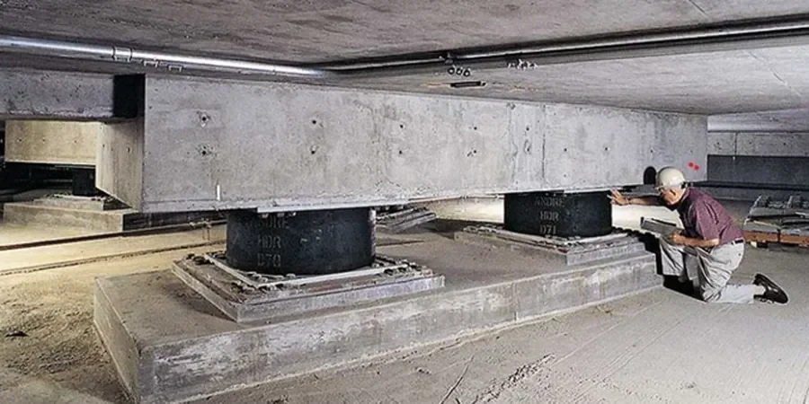
Our methodology integrates multiple techniques to suit the specific challenges of Derby’s geology, always adhering to BS 5930 and the relevant parts of Eurocode 7. We routinely employ Electrical Resistivity Tomography (ERT) to delineate the water table within granular river gravels and to map clay thickness over sandstone bedrock. Ground Penetrating Radar (GPR) is used at high resolution to locate buried services, rebar in concrete, and shallow voids beneath industrial foundations. For deeper structural assessments, seismic refraction provides engineering parameters for bedrock rippability, while MASW (Multichannel Analysis of Surface Waves) generates shear wave velocity profiles for seismic site class. The results from these non-intrusive surveys create a high-confidence target list, ensuring that subsequent intrusive tests like CPT (Cone Penetration Test) and SPT (Standard Penetration Test) are positioned with maximum efficiency, reducing overall project uncertainty.
Derby’s industrial heritage and ongoing regeneration create a diverse range of project applications for our geophysical services. On the former Celanese site and other brownfield land within the city, surveys map buried foundations, storage tanks, and contamination migration pathways through granular made ground. For infrastructure projects along the A38 and A52 corridors, we provide continuous subsurface profiles to identify dissolution features within the Mercia Mudstone and weak zones in glacial till. Residential developments on Derby’s expanding fringe, particularly where shallow coal workings or historic brick pits are suspected, benefit from rapid microgravity and EM31 surveys to pinpoint unstable ground before detailed In-Situ begins.
A successful geophysical survey in Derby delivers more than just raw data; it provides a clear, actionable ground model. Our process starts with a desktop study of British Geological Survey maps and historical records, followed by field acquisition and advanced data processing. The final deliverable is an interpretative report that integrates all findings into a 2D and 3D ground model, directly informing your geotechnical design and risk register. By clarifying what lies beneath the surface without a single excavation, we de-risk your ground investigation phase, allowing intrusive methods such as the Flat Dilatometer Test (DMT) or field vane shear test (VST) to be deployed only where they add maximum value, saving time and reducing costs.